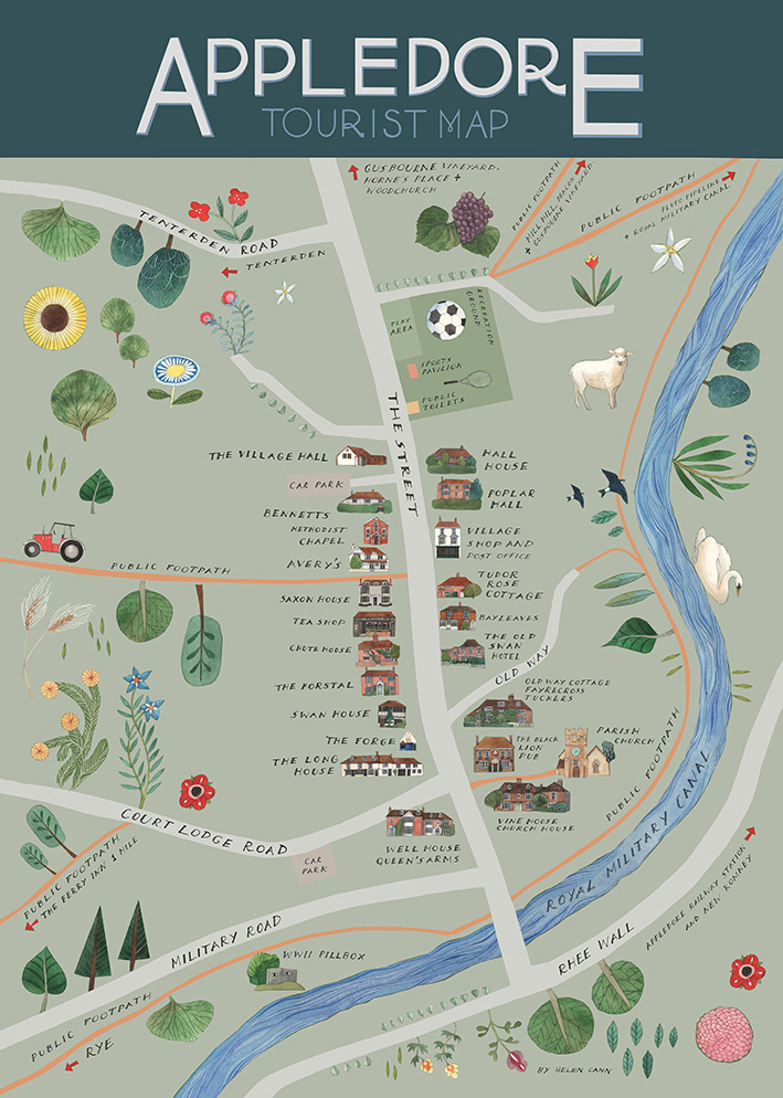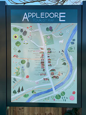
An A1 map commissioned by Appledore Parish Council as tourist signage for this beautiful historic Kent village on the edge of Romney Marsh. The map was created partly by hand with all elements and lettering (both for the title and map itself) painted in watercolour, ink and gouache. The background canvas was created in Photoshop with digital colour.
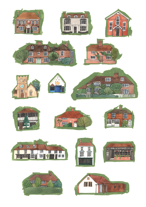
I was specifically asked to keep the map fairly 'quiet' of extra features and to focus on the buildings and main street.